





Antakya · Topographic and land surveying
We agree the survey extent and the details required by the design team. Defining which buildings, roads and ground levels to record helps produce a usable base map before design begins.
Explore this service




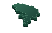
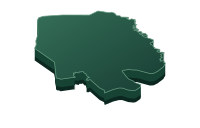
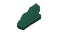
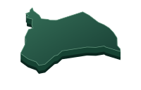
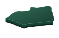
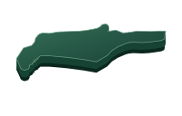
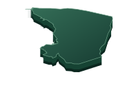
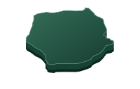
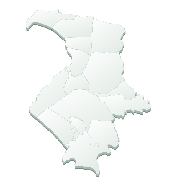
Yeşil Harita Mühendislik, with Surveying Engineer Mehmet Yeşil, is at your service throughout the districts of Antakya, Defne, Altınözü, Arsuz, Belen, Dörtyol, Erzin, Hassa, İskenderun, Kırıkhan, Kumlu, Payas, Reyhanlı, Samandağ and Yayladağı in Hatay province.














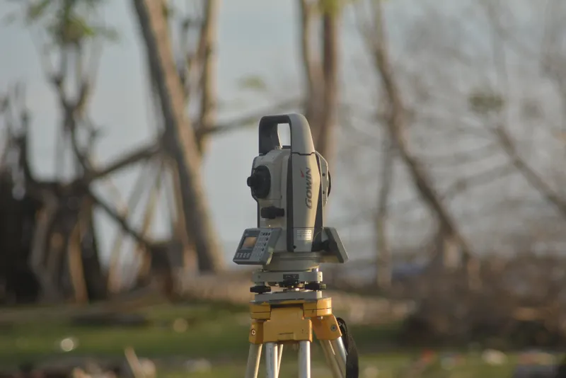
We work where the drawing meets the ground. From building positions to elevations, we survey the details that guide construction on site.

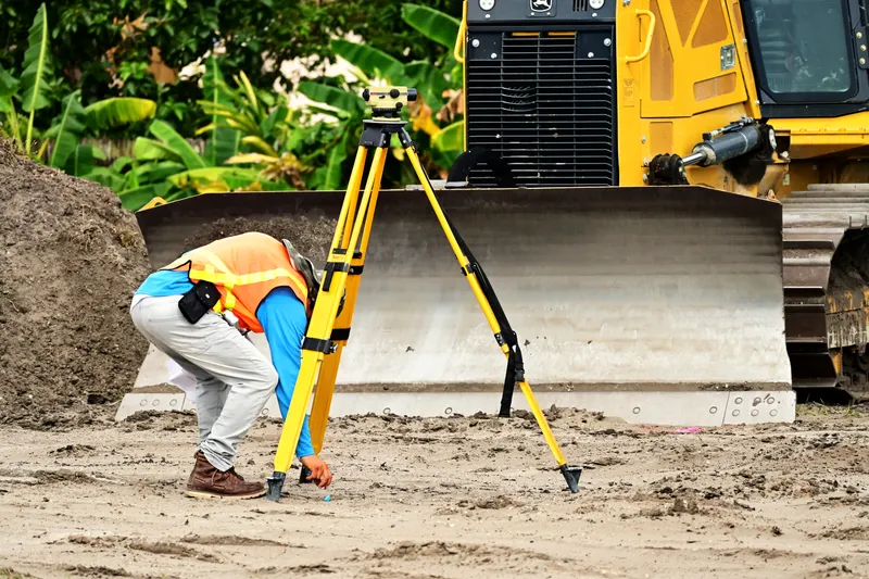
We consider your site's features alongside your expectations and prepare each assignment around a plan suited to your needs.
We bring field measurements and technical drawings together, preparing the data that supports each stage of your project.
From the first conversation to delivery, we keep you informed and review each step of the process together.


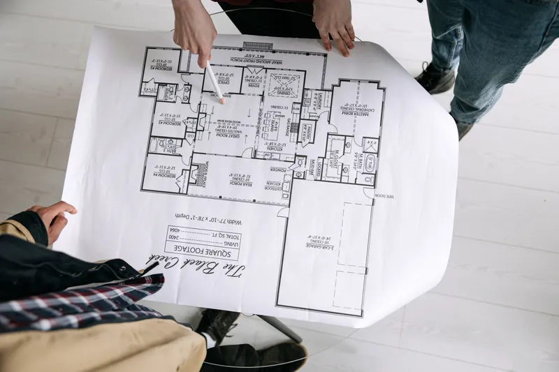
Have an idea but unsure where to begin? At Yeşil Harita Mühendislik, we start with what you want to achieve. At our Payas office, we can identify the technical work your plans require.

Surveying and geomatics services for your land and buildings, from field measurements to project documentation.
Land and topographic surveys record existing buildings, site details and elevations in digital maps to support architectural design and site planning.
We agree the survey extent and the details required by the design team. Defining which buildings, roads and ground levels to record helps produce a usable base map before design begins.
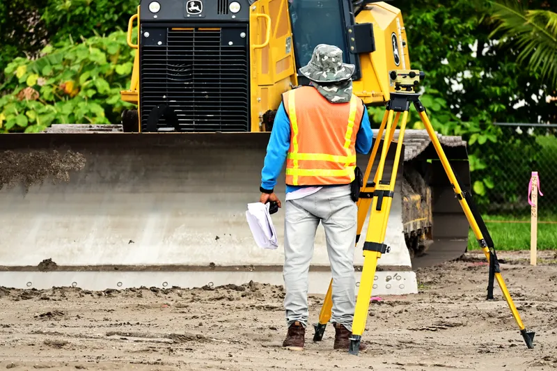
Construction setting out transfers design coordinates and building axes to the ground. Foundation positions and elevation checks are scoped from approved plans.
The plan revision, coordinates and level reference are checked before setting out. The points to mark and the check measurements are planned around the project requirements.
Land readjustment and planning implementation work includes surveying, mapping and technical file preparation, with requirements reviewed for each procedure.
Share the parcel reference, available plans and authority documents. Surveying and technical file preparation are scoped separately from administrative review so the work stages are clear.
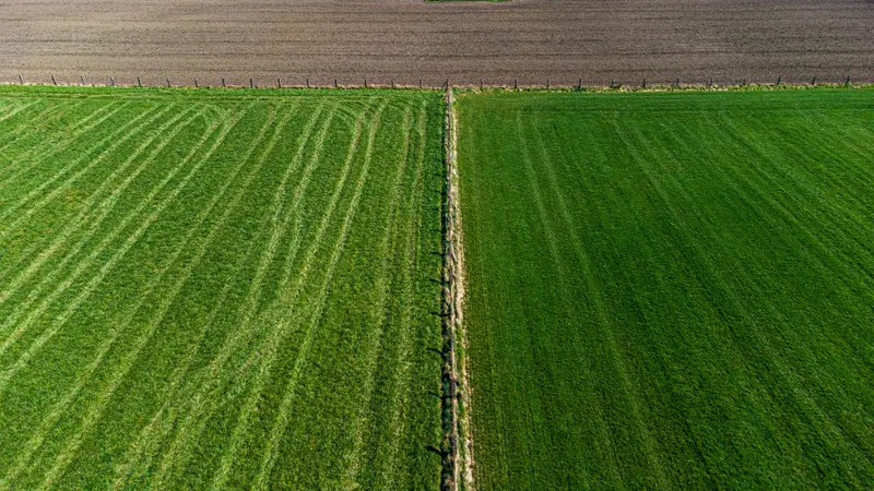
Parcel subdivision surveys and technical plans support applications to divide land. We review title and parcel references; approval remains with the relevant authorities.
We start with the existing parcel information and your intended division. We discuss the required measurements, drawings and technical file; area alone is not a basis for promising an outcome.
Elevation surveys record ground levels and slopes. Earthwork volume calculations combine terrain models and design levels for excavation and fill planning.
The existing terrain and the proposed design surface must cover the agreed calculation area. Survey limits and reference levels are established first so the surfaces used in the volume calculation are clear.

Drone surveying can provide aerial mapping, orthophotos and 3D terrain models. Flight suitability, permissions and required data accuracy are assessed before work begins.
Promotional images and survey orthophotos serve different purposes. Intended use, site boundaries and required outputs guide flight planning, ground control and the choice of map, surface model or imagery deliverables.


At Yeşil Harita Mühendislik, we consider surveying needs in Payas and nearby areas in the context of your whole project. From fieldwork to technical documentation, we offer a careful process with clear communication.
We assess field measurements carefully and prepare the position and elevation data your project needs.
We consider your plot's features and your goals together to identify the right surveying service.
We plan surveys, drawings and documentation, keeping you informed about the current stage of the work.
We explain technical matters in plain language and answer your questions so each next step is clear.
We asked for help with surveying and mapping our land in Payas. They explained every stage clearly and responded promptly to our questions. We appreciated their care and attention to detail.
We worked together on construction setting out and level surveys for our project in İskenderun. Their coordination on site and attention to survey details made our work easier. We appreciated their practical approach.

Useful information before you start: brief answers about preparation, pricing and the surveying process.
Tell us what you want to do with your land or project. Together, we can assess whether you need a survey, construction setting out, mapping or plot-related work and identify the appropriate service.
Share the district and neighbourhood, block and parcel details if available, and the work you have in mind. Existing maps, plans or title information help us assess the request. We will clarify any specific documents at the first meeting.
Fees depend on the type of work, site size and conditions, survey scope and documentation required. After assessing your needs, we explain the scope and provide a quotation. Any authority fees or additional expenses are listed separately.
Timing depends on the scope, site access and available documents. Field measurements, drawings and documentation are separate stages. Where authority review is required, approval times may also affect the schedule. We discuss the expected timeline at the outset.
Get in Touch lets you call us directly. After discussing the location and your needs, we arrange a suitable day. Before the appointment, we explain site access requirements and who should be present during the survey.
Service Area
Looking for a land surveyor or surveying office in Hatay? Yeşil Harita Mühendislik provides land surveys, topographic mapping, construction setting out, land readjustment, subdivision plans, elevation surveys, earthwork calculations and drone mapping. Our office in Payas handles enquiries from all 15 districts.
For mapping existing buildings and ground levels, share your parcel reference and the intended use of the survey.
We agree the survey extent and the details required by the design team. Defining which buildings, roads and ground levels to record helps produce a usable base map before design begins.
Explore this serviceThe plan revision, coordinates and level reference are checked before setting out. The points to mark and the check measurements are planned around the project requirements.
Explore this serviceShare the parcel reference, available plans and authority documents. Surveying and technical file preparation are scoped separately from administrative review so the work stages are clear.
Explore this serviceWe start with the existing parcel information and your intended division. We discuss the required measurements, drawings and technical file; area alone is not a basis for promising an outcome.
Explore this serviceThe existing terrain and the proposed design surface must cover the agreed calculation area. Survey limits and reference levels are established first so the surfaces used in the volume calculation are clear.
Explore this servicePromotional images and survey orthophotos serve different purposes. Intended use, site boundaries and required outputs guide flight planning, ground control and the choice of map, surface model or imagery deliverables.
Explore this serviceBefore construction setting out, we review the approved plans and parcel information to identify the positions and axes to mark on site.
We agree the survey extent and the details required by the design team. Defining which buildings, roads and ground levels to record helps produce a usable base map before design begins.
Explore this serviceThe plan revision, coordinates and level reference are checked before setting out. The points to mark and the check measurements are planned around the project requirements.
Explore this serviceShare the parcel reference, available plans and authority documents. Surveying and technical file preparation are scoped separately from administrative review so the work stages are clear.
Explore this serviceWe start with the existing parcel information and your intended division. We discuss the required measurements, drawings and technical file; area alone is not a basis for promising an outcome.
Explore this serviceThe existing terrain and the proposed design surface must cover the agreed calculation area. Survey limits and reference levels are established first so the surfaces used in the volume calculation are clear.
Explore this servicePromotional images and survey orthophotos serve different purposes. Intended use, site boundaries and required outputs guide flight planning, ground control and the choice of map, surface model or imagery deliverables.
Explore this serviceIf you are considering dividing a parcel, we can review the title and parcel information to establish the survey and technical plan requirements.
We agree the survey extent and the details required by the design team. Defining which buildings, roads and ground levels to record helps produce a usable base map before design begins.
Explore this serviceThe plan revision, coordinates and level reference are checked before setting out. The points to mark and the check measurements are planned around the project requirements.
Explore this serviceShare the parcel reference, available plans and authority documents. Surveying and technical file preparation are scoped separately from administrative review so the work stages are clear.
Explore this serviceWe start with the existing parcel information and your intended division. We discuss the required measurements, drawings and technical file; area alone is not a basis for promising an outcome.
Explore this serviceThe existing terrain and the proposed design surface must cover the agreed calculation area. Survey limits and reference levels are established first so the surfaces used in the volume calculation are clear.
Explore this servicePromotional images and survey orthophotos serve different purposes. Intended use, site boundaries and required outputs guide flight planning, ground control and the choice of map, surface model or imagery deliverables.
Explore this serviceArchitectural planning needs a record of existing site conditions. We can discuss the scope of location, elevation and building data required.
We agree the survey extent and the details required by the design team. Defining which buildings, roads and ground levels to record helps produce a usable base map before design begins.
Explore this serviceThe plan revision, coordinates and level reference are checked before setting out. The points to mark and the check measurements are planned around the project requirements.
Explore this serviceShare the parcel reference, available plans and authority documents. Surveying and technical file preparation are scoped separately from administrative review so the work stages are clear.
Explore this serviceWe start with the existing parcel information and your intended division. We discuss the required measurements, drawings and technical file; area alone is not a basis for promising an outcome.
Explore this serviceThe existing terrain and the proposed design surface must cover the agreed calculation area. Survey limits and reference levels are established first so the surfaces used in the volume calculation are clear.
Explore this servicePromotional images and survey orthophotos serve different purposes. Intended use, site boundaries and required outputs guide flight planning, ground control and the choice of map, surface model or imagery deliverables.
Explore this serviceAn elevation survey can document slopes and level differences. If earthwork quantities are needed, please also share the proposed design levels.
We agree the survey extent and the details required by the design team. Defining which buildings, roads and ground levels to record helps produce a usable base map before design begins.
Explore this serviceThe plan revision, coordinates and level reference are checked before setting out. The points to mark and the check measurements are planned around the project requirements.
Explore this serviceShare the parcel reference, available plans and authority documents. Surveying and technical file preparation are scoped separately from administrative review so the work stages are clear.
Explore this serviceWe start with the existing parcel information and your intended division. We discuss the required measurements, drawings and technical file; area alone is not a basis for promising an outcome.
Explore this serviceThe existing terrain and the proposed design surface must cover the agreed calculation area. Survey limits and reference levels are established first so the surfaces used in the volume calculation are clear.
Explore this servicePromotional images and survey orthophotos serve different purposes. Intended use, site boundaries and required outputs guide flight planning, ground control and the choice of map, surface model or imagery deliverables.
Explore this serviceFor building positions and axis marking, we define setting-out work from the plans and coordinate site access and survey timing.
We agree the survey extent and the details required by the design team. Defining which buildings, roads and ground levels to record helps produce a usable base map before design begins.
Explore this serviceThe plan revision, coordinates and level reference are checked before setting out. The points to mark and the check measurements are planned around the project requirements.
Explore this serviceShare the parcel reference, available plans and authority documents. Surveying and technical file preparation are scoped separately from administrative review so the work stages are clear.
Explore this serviceWe start with the existing parcel information and your intended division. We discuss the required measurements, drawings and technical file; area alone is not a basis for promising an outcome.
Explore this serviceThe existing terrain and the proposed design surface must cover the agreed calculation area. Survey limits and reference levels are established first so the surfaces used in the volume calculation are clear.
Explore this servicePromotional images and survey orthophotos serve different purposes. Intended use, site boundaries and required outputs guide flight planning, ground control and the choice of map, surface model or imagery deliverables.
Explore this serviceFor larger areas, we can discuss drone imagery, orthophotos and terrain models. Flight suitability and required permissions are assessed in advance.
We agree the survey extent and the details required by the design team. Defining which buildings, roads and ground levels to record helps produce a usable base map before design begins.
Explore this serviceThe plan revision, coordinates and level reference are checked before setting out. The points to mark and the check measurements are planned around the project requirements.
Explore this serviceShare the parcel reference, available plans and authority documents. Surveying and technical file preparation are scoped separately from administrative review so the work stages are clear.
Explore this serviceWe start with the existing parcel information and your intended division. We discuss the required measurements, drawings and technical file; area alone is not a basis for promising an outcome.
Explore this serviceThe existing terrain and the proposed design surface must cover the agreed calculation area. Survey limits and reference levels are established first so the surfaces used in the volume calculation are clear.
Explore this servicePromotional images and survey orthophotos serve different purposes. Intended use, site boundaries and required outputs guide flight planning, ground control and the choice of map, surface model or imagery deliverables.
Explore this serviceFor terrain modelling and volume calculations, identify the survey extent and purpose so the elevation and earthwork survey scope can be defined.
We agree the survey extent and the details required by the design team. Defining which buildings, roads and ground levels to record helps produce a usable base map before design begins.
Explore this serviceThe plan revision, coordinates and level reference are checked before setting out. The points to mark and the check measurements are planned around the project requirements.
Explore this serviceShare the parcel reference, available plans and authority documents. Surveying and technical file preparation are scoped separately from administrative review so the work stages are clear.
Explore this serviceWe start with the existing parcel information and your intended division. We discuss the required measurements, drawings and technical file; area alone is not a basis for promising an outcome.
Explore this serviceThe existing terrain and the proposed design surface must cover the agreed calculation area. Survey limits and reference levels are established first so the surfaces used in the volume calculation are clear.
Explore this servicePromotional images and survey orthophotos serve different purposes. Intended use, site boundaries and required outputs guide flight planning, ground control and the choice of map, surface model or imagery deliverables.
Explore this serviceFor land readjustment work, we review available documents to identify survey, mapping and technical file requirements for the specific procedure.
We agree the survey extent and the details required by the design team. Defining which buildings, roads and ground levels to record helps produce a usable base map before design begins.
Explore this serviceThe plan revision, coordinates and level reference are checked before setting out. The points to mark and the check measurements are planned around the project requirements.
Explore this serviceShare the parcel reference, available plans and authority documents. Surveying and technical file preparation are scoped separately from administrative review so the work stages are clear.
Explore this serviceWe start with the existing parcel information and your intended division. We discuss the required measurements, drawings and technical file; area alone is not a basis for promising an outcome.
Explore this serviceThe existing terrain and the proposed design surface must cover the agreed calculation area. Survey limits and reference levels are established first so the surfaces used in the volume calculation are clear.
Explore this servicePromotional images and survey orthophotos serve different purposes. Intended use, site boundaries and required outputs guide flight planning, ground control and the choice of map, surface model or imagery deliverables.
Explore this serviceTo map existing parcel conditions digitally, we first agree on the survey purpose and deliverable format, then prepare the work accordingly.
We agree the survey extent and the details required by the design team. Defining which buildings, roads and ground levels to record helps produce a usable base map before design begins.
Explore this serviceThe plan revision, coordinates and level reference are checked before setting out. The points to mark and the check measurements are planned around the project requirements.
Explore this serviceShare the parcel reference, available plans and authority documents. Surveying and technical file preparation are scoped separately from administrative review so the work stages are clear.
Explore this serviceWe start with the existing parcel information and your intended division. We discuss the required measurements, drawings and technical file; area alone is not a basis for promising an outcome.
Explore this serviceThe existing terrain and the proposed design surface must cover the agreed calculation area. Survey limits and reference levels are established first so the surfaces used in the volume calculation are clear.
Explore this servicePromotional images and survey orthophotos serve different purposes. Intended use, site boundaries and required outputs guide flight planning, ground control and the choice of map, surface model or imagery deliverables.
Explore this servicePreparation for parcel subdivision starts with parcel references and existing documents. Preparing a technical plan does not replace official approval.
We agree the survey extent and the details required by the design team. Defining which buildings, roads and ground levels to record helps produce a usable base map before design begins.
Explore this serviceThe plan revision, coordinates and level reference are checked before setting out. The points to mark and the check measurements are planned around the project requirements.
Explore this serviceShare the parcel reference, available plans and authority documents. Surveying and technical file preparation are scoped separately from administrative review so the work stages are clear.
Explore this serviceWe start with the existing parcel information and your intended division. We discuss the required measurements, drawings and technical file; area alone is not a basis for promising an outcome.
Explore this serviceThe existing terrain and the proposed design surface must cover the agreed calculation area. Survey limits and reference levels are established first so the surfaces used in the volume calculation are clear.
Explore this servicePromotional images and survey orthophotos serve different purposes. Intended use, site boundaries and required outputs guide flight planning, ground control and the choice of map, surface model or imagery deliverables.
Explore this serviceAt our Payas office, you can discuss your needs with survey engineer Mehmet Yeşil. We review the location and plans for on-site surveying and construction setting out.
We agree the survey extent and the details required by the design team. Defining which buildings, roads and ground levels to record helps produce a usable base map before design begins.
Explore this serviceThe plan revision, coordinates and level reference are checked before setting out. The points to mark and the check measurements are planned around the project requirements.
Explore this serviceShare the parcel reference, available plans and authority documents. Surveying and technical file preparation are scoped separately from administrative review so the work stages are clear.
Explore this serviceWe start with the existing parcel information and your intended division. We discuss the required measurements, drawings and technical file; area alone is not a basis for promising an outcome.
Explore this serviceThe existing terrain and the proposed design surface must cover the agreed calculation area. Survey limits and reference levels are established first so the surfaces used in the volume calculation are clear.
Explore this servicePromotional images and survey orthophotos serve different purposes. Intended use, site boundaries and required outputs guide flight planning, ground control and the choice of map, surface model or imagery deliverables.
Explore this serviceFor mapping and technical files related to planning implementation, start by sharing the procedure type, parcel information and available authority documents.
We agree the survey extent and the details required by the design team. Defining which buildings, roads and ground levels to record helps produce a usable base map before design begins.
Explore this serviceThe plan revision, coordinates and level reference are checked before setting out. The points to mark and the check measurements are planned around the project requirements.
Explore this serviceShare the parcel reference, available plans and authority documents. Surveying and technical file preparation are scoped separately from administrative review so the work stages are clear.
Explore this serviceWe start with the existing parcel information and your intended division. We discuss the required measurements, drawings and technical file; area alone is not a basis for promising an outcome.
Explore this serviceThe existing terrain and the proposed design surface must cover the agreed calculation area. Survey limits and reference levels are established first so the surfaces used in the volume calculation are clear.
Explore this servicePromotional images and survey orthophotos serve different purposes. Intended use, site boundaries and required outputs guide flight planning, ground control and the choice of map, surface model or imagery deliverables.
Explore this serviceIf you need current aerial imagery and a 3D site model, we can discuss drone mapping. Area size and required outputs determine the survey plan.
We agree the survey extent and the details required by the design team. Defining which buildings, roads and ground levels to record helps produce a usable base map before design begins.
Explore this serviceThe plan revision, coordinates and level reference are checked before setting out. The points to mark and the check measurements are planned around the project requirements.
Explore this serviceShare the parcel reference, available plans and authority documents. Surveying and technical file preparation are scoped separately from administrative review so the work stages are clear.
Explore this serviceWe start with the existing parcel information and your intended division. We discuss the required measurements, drawings and technical file; area alone is not a basis for promising an outcome.
Explore this serviceThe existing terrain and the proposed design surface must cover the agreed calculation area. Survey limits and reference levels are established first so the surfaces used in the volume calculation are clear.
Explore this servicePromotional images and survey orthophotos serve different purposes. Intended use, site boundaries and required outputs guide flight planning, ground control and the choice of map, surface model or imagery deliverables.
Explore this serviceBefore surveying, we assess access, terrain conditions and required elevation data. The results support design preparation and volume calculations.
We agree the survey extent and the details required by the design team. Defining which buildings, roads and ground levels to record helps produce a usable base map before design begins.
Explore this serviceThe plan revision, coordinates and level reference are checked before setting out. The points to mark and the check measurements are planned around the project requirements.
Explore this serviceShare the parcel reference, available plans and authority documents. Surveying and technical file preparation are scoped separately from administrative review so the work stages are clear.
Explore this serviceWe start with the existing parcel information and your intended division. We discuss the required measurements, drawings and technical file; area alone is not a basis for promising an outcome.
Explore this serviceThe existing terrain and the proposed design surface must cover the agreed calculation area. Survey limits and reference levels are established first so the surfaces used in the volume calculation are clear.
Explore this servicePromotional images and survey orthophotos serve different purposes. Intended use, site boundaries and required outputs guide flight planning, ground control and the choice of map, surface model or imagery deliverables.
Explore this serviceSurvey fees depend on area size, terrain, method and deliverables. Share the district, neighbourhood, parcel reference or location and your intended work so we can plan the site visit and scope.
Discuss your survey
Contact us through the channels below with your enquiries, requests, feedback or suggestions. We will be happy to help.